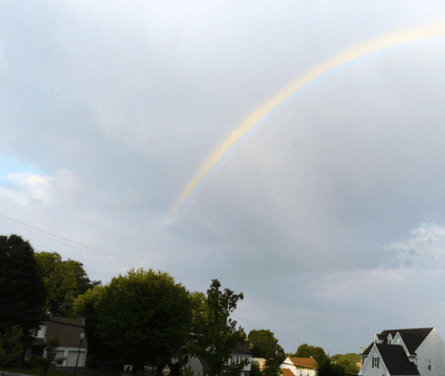
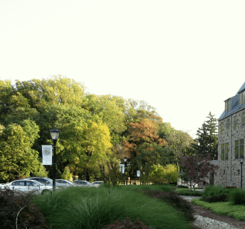
Welcome to Delaware County
You found the right website if you are searching for homes for sale in Delaware County, PA. Our website has EVERY Delaware County home for sale in Pennsylvania listed with Bright MLS.
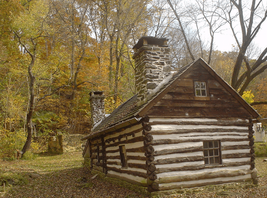
Delaware County, colloquially referred to as Delco, is a county located in the U.S. state of Pennsylvania. With a population of 562,960, it is the fifth most populous county in Pennsylvania, and the third smallest in area. The county was created on September 26, 1789, from part of Chester County, and named for the Delaware River. Its county seat is Media. Until 1850, Chester was the county seat of Delaware County and, before that, of Chester County. Delaware County is adjacent to the city-county of Philadelphia and is included in the Philadelphia–Camden–Wilmington, PA–NJ–DE–MD Metropolitan Statistical Area. Delaware County is the only county covered in its entirety by area codes 610 and 484.
Nearby Schools
Buying a Delaware County Home?
If you are a Delaware County, PA home buyer, our foremost goal is to provide you with exceptional customer service. Our goals are to help you purchase the right home, make sure you don’t miss out on any homes that meet your needs, and make sure you don’t pay too much for your next home. Please utilize our Delaware County, Pennsylvania real estate expertise to make your home search and buying experience as stress free and rewarding for you and your family as possible.
Selling Your Delaware County Home?
If you're considering selling your Delaware County, Pennsylvania home, we utilize the latest, cutting-edge, real estate marketing tools to expose your property to the widest range of potential buyers. We are here to get your house aggressively marketed to sell as quickly as possible and for the best price! Our goals are to help you get your Delaware County, PA home sold, put you in the strongest negotiating position as possible, and to make it easier for you and reduce surprises.